


With over three decades of experience, we have made boards for every service, desire, and creative project. Throughout our experience, we have perfected the ability to print high-resolution land plats, land surveys, and aerial shots with quality and efficiency. The ability to see geographical characteristics on custom dry erase topography boards allows for knowledge and advantages you may not find anywhere else.
Land Platting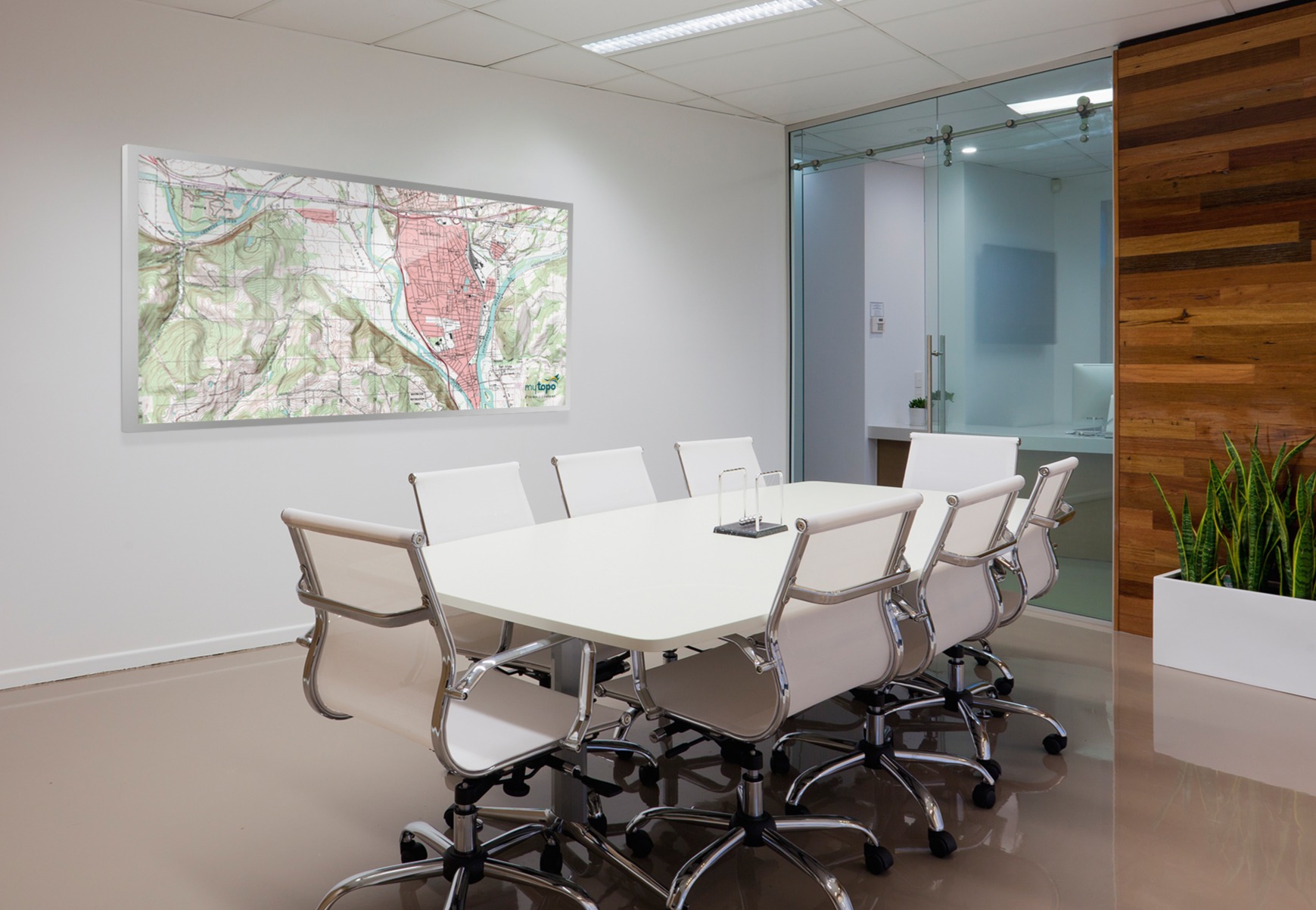
A plat survey is the means used to create a plat or, in layman's terms, an official map of a specific piece of land drawn accurately. Making a plat is a system that employs geographic features, distances between clearly identified points, and different directions to identify a parcel's boundaries. Once these boundaries are identified, the different pieces of land are visually described from a designated starting point and then form a large circle until connected to the original starting point.
Plat surveys are beneficial for a variety of different reasons. Plat surveys come in handy when identifying individual parcels of land in a large geographical area such as a farmstead or suburban area. Plat surveys are also used in more minor instances, such as identifying a homeowner's property lines compared to their deed.
Topography
Topography is the study of a land surface. In particular, it lays the underlying foundation of a landscape. For example, Topography refers to the rivers, mountains, and land formations present on the earth's surface. These topographic characteristics are presented in elevation, sea level, and divots in mapped-out areas.
Topography is closely related to geography and mapping systems like GIS (Geographic Information System). GIS is a computer system that analyzes and displays geographically referenced information. It used
data that was attached to a unique location. Engineers, geologists, and astronomers use these maps to understand the shape of the land, whether a slope will fail, how glaciers are changing, and geologic history, among many other things.
Our Custom Dry Erase Boards:
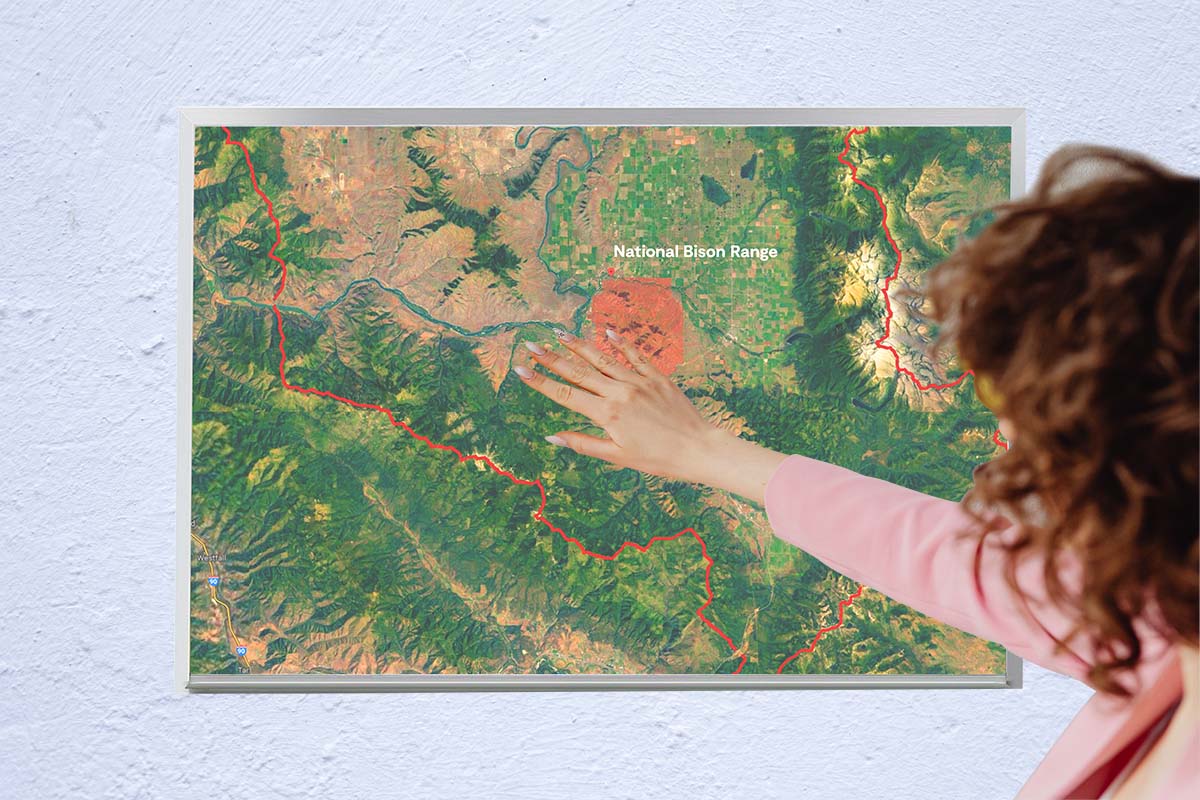
Creating a custom dry erase topography board will allow large-scale plat and topography information to be shared, edited, and noted upon the image. Circle areas of concern, track tree growth, mark development sites, and more with the simple swipe of your dry erase marker. We work hand in hand with land surveyors, civil engineers, forestry groups, and property managers to design and craft affordable, industrial-quality wallboard solutions that exceed expectations.
Our expertise and graphic design team have allowed us to print aerial drone and helicopter photos, topographical or cadastral proper surveys, and plats to scale with stunning, high-resolution quality. Our custom-printed topography boards are glossy and sleek, available with or without a polished aluminum frame. Our boards are magnetic receptive and available in several sizes, and can be designed to fit all your needs.
Are you looking to Shop? Check out our website here!
Already know what you want?
Why Choose Us?
We are a small business whose products are made in the U.S.A. We specialize in dry erase boards, dry erase wallcoverings, portable dry erase units, high-quality custom printed whiteboards, fast shipping, and five-star customer service. Over the last three decades, we've worked hard to deliver industrial quality whiteboard solutions that won't hurt your budget.
Sources:
- What is topography? The definitive guide. GIS Geography. (2021, October 28). Retrieved May 18, 2022, from https://gisgeography.com/what-is-topography
- Surveying, A. (2017, October 20). What is a plat survey? Advance Surveying & Engineering. Retrieved May 18, 2022, from https://www.advsur.com/2017/10/what-is-a-plat-survey/